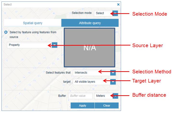
Step 4: Locate the specific source layer features within the map. Do this by either:
- panning and zooming, and then clicking on the feature with the mouse
- using other tools such as the Search/Find tool (e.g. If you are interested in finding all of the park assets within Coyle Park in Pt Chevalier).
After you have successfully selected the source feature, you will notice that it is highlighted in the display and the results are presented in the Results panel.
Step 5: Click Apply.
After clicking the Apply button, you may not notice any difference in the display, especially if the source layer is Property. This is because the default results of only one layer at a time can be presented in the Results panel and in the map display, and by default this includes the Property layer as the one to display.
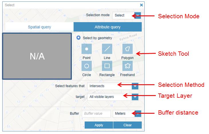
All of the selected features from the target layers will be available in the Results panel layer list.